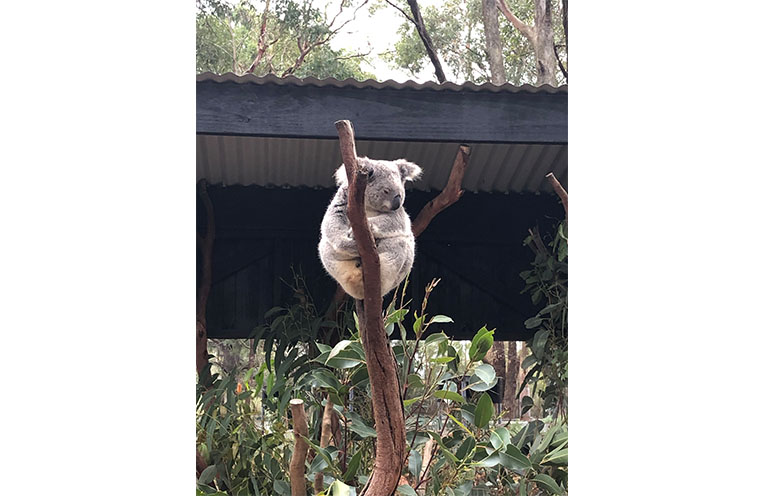
KOALA habitats across Port Stephens will be mapped using drones as part of a council project taking place over the next few months.
The current Port Stephens koala habitat map was created over 20 years ago.

Advancements in mapping technology and survey methods mean a more detailed and comprehensive map can be produced.
“Koalas can be tricky to spot in dense or swampy bushland, so we’ll be using specialist thermal (heat-seeking) drones to locate them,” a spokesperson for Port Stephens Council said.
“The drone surveys will take place at night, allowing us to detect them from above – even in the dark – when we can pick up their heat signatures.”
Environmental Strategy Team Leader for Port Stephens Council Kimberly Baker, said the data will be used for land management and protection of the koala population.
“Accurate mapping information such as vegetation mapping and koala habitat mapping is critical for land managers such as Council to inform our land management decisions and ensure that these populations last for our future generations,” she said.
Landholders are being encouraged to get involved by providing access to their properties where required.
“Council will be reaching out to all identified landholders for permission to contribute to this important mapping project.
“We’ll be working very closely with our team of koala scientists and specialist consultants to deliver the updated mapping for the region by the end of 2026.”
By Cosette DE LORENZO
