
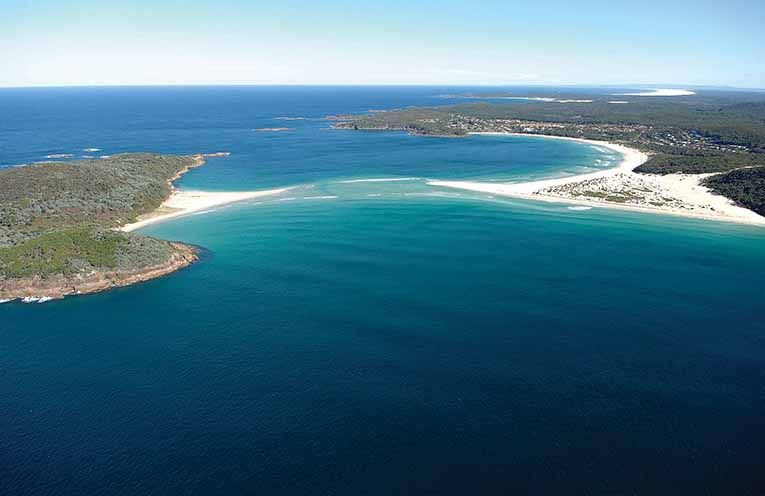
LIVING in tranquil Fingal Bay, surrounded by incredible natural beauty, it is difficult to visualise the area as a centre of great volcanic activity, bubbling and hissing lava, heaving earth movement and giant blocks tumbling into the sea.
In the time of great change the islands off our coastline were part of the mainland.
When finally the land settled and the water rose to create the islands the Aboriginal people arrived, roaming the beaches and headlands, spearing fish, collecting crabs and gathering shellfish.
Ample evidence is available to suggest that Indigenous folk hunted and fished in and around Fingal Bay tens of thousands of years ago.
I am very respectful of the Worimi culture and feel their very presence.
Things began to change in a big way for the Aboriginal people on Friday 11 May 1770 with an entry into the log of Captain James Cook, made off Fingal, which read: “Winds southerly in the day and in the night westerly, a gentle breeze and clear weather at 4pm. Passed at a distance of one mile, low rocky point which I name Point Stephens. On the northern side of this point is an inlet which I call Port Stephens. That appeared to me from the mast head to be sheltered from all winds. At the entrance lay three small islands, I think two of which are of tolerable height and on the main near the shore are some high round hills that make it appear like islands in passing the bay at this distance at two or three miles from the shore.”
The “three small islands” mentioned in Cook’s log are Boondelbah, Cabbage Tree and Little Islands.
Cook’s entry was but a small part of his systematic mapping of the east coast of Australia as he sailed north.
The First Fleet was to arrive around 17 years later.
Early in his travels, Point Stephens (Fingal Outer Light) and Port Stephens were both named in honour of Captain Cook’s mate Sir Philip Stephens, Secretary to the Admiralty.
It was not until 1845, however, that the name “Fingal Bay” first appeared on a map prepared by Naval Officer and Hydrographer Captain Phillip Parker King (1791-1856).
In his book The Fatal Shore, author Robert Hughes writes of the arrival of the sailing ships: “The Aborigines and the fauna around them had possessed the landscape since time immemorial, and no other human eye had seen them. Now the protective glass of distance broke, in an instant, never to be restored.”
How true.
One can only assume that shortly before identifying the most south-easterly point, Point Stephens, and making the entry into his log, Cook would have seen the wide opening into a peaceful bay (Fingal Bay).
This opening has, on numerous occasions, been confused by those sailing north as the entrance to Port Stephens. This miscalculation has led to shipwrecks and others running aground.
This navigational confusion resulted in the sailors and local fishermen referring to the expanse as False Bay, later to be named Fingal Bay.
Just to complicate the issue, Fingal Island, the landform, is not an island. Technically it is a tombola, or tide island. The Fingal Spit, which connects the mainland to the island, played a vital part in the history and development of Fingal and continues to do so.
By John ‘Stinker’ CLARKE